Today I took a trip across the Neuse River to South River with a neighbor in his Mako power boat.
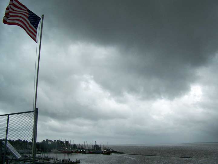
As we crossed the Neuse, a squall moved in over Oriental and the Neuse River behind us, coming in from the northwest. While we were enjoying sun in South River, things were getting pretty hairy along the route back, as the storm was spreading and moving our way. Things can get very nasty on the Neuse in a very short period of time: many a boater and fisher has died out there in surprise squalls.
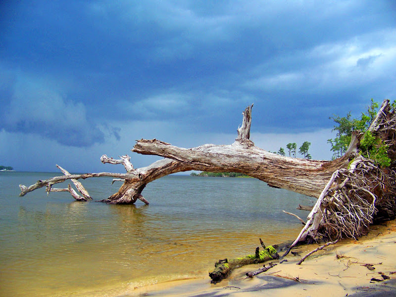
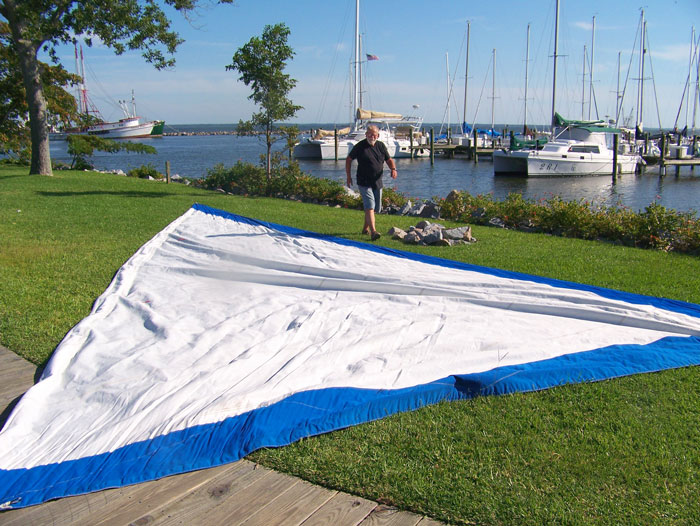
Not being in a boat built for weather, we decided to tie up amongst the branches of a fallen oak tree along the shore (not the tree in this picture) to see how the weather developed... as lightning and thunder started moving across the river in our general direction, we decided to step ashore and rig a lean-to with a tarp, just in case we got stranded in the thick of it.
I took this picture from the bank, looking back towards Oriental and the threatening skies.
As it turned out, we only got a little sprinkle for a while, then the weather cleared enough for us to get back in the boat and head back across the Neuse to Oriental.
Oriental had indeed been hit hard by rain and high winds during the squall, so it turns out we picked the right time for our trip and our return.
-30-


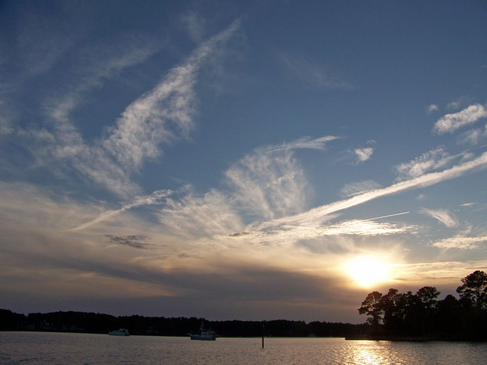
 Sunset over Green's Creek and Kershaw Creek


