Today I sailed the Bauer 10 out to Oriental Marker No. 1 to try to get some pictures of the weekly Wednesday night sailboat race. Only three sailboats showed up, so I didn't get any impressive shots (I was hoping for more boats).
As the boats sailed off for the first mark on the informal race course, I decided to follow along for a while. I saw the boats rounding the first mark (Garbacon Shoal) and decided to go at least that far.
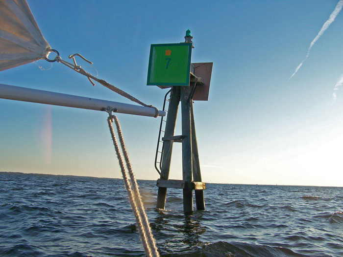
This is the farthest I have sailed the dinghy out on the river, so as I rounded the marker I snapped this picture for proof/commemoration.
In the foreground you see the boom, the tack of the mainsail and the mainsheet. The whispy threads you see flowing from the mainsail act as my anemometer and tell-tails.
As I reached Garbacon Marker, the three racers were approaching the Adams Creek Marker a few miles downwind. The sun was nearing the horizon, so I decided one leg of the race was enough for me.
As I sailed back, the sun set and the wind died... I mounted my navigational lights and slowly sailed back as the temperature began falling considerably. Fortunately I brought some layers to put on.
The whole round trip - slip to Garbacon and back to slip - was just under 6 statute miles, and I covered it in about one hour and forty minutes... not bad considering the wind died off so much on the way back.
My route today is shown by the red line on the map below...
the yellow line is the approximate route of the Wednesday evening races (about 8.25 stat. miles):
View Larger Map


No comments:
Post a Comment